• 3 min de lectura
• 3 min de lectura
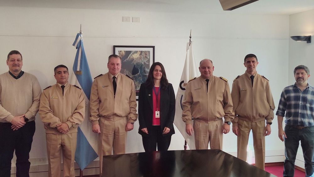
Within the framework of the continuous strengthening of technological capabilities applied to national security and sovereignty, authorities from the Argentine Naval Prefecture and the National Commission for Space Activities (CONAE) held a fruitful bilateral working meeting. The day was presided over by the new Executive and Technical Director of CONAE, Engineer Josefina Péres, and the Force's Director of Informatics and Communications, General Prefect José Antonio Impollino, accompanied by their respective technical and operational teams.
During the session, the results of the joint work through SIVEMAR (Integrated Electronic Sea Surveillance System) were analyzed. Developed by this maritime authority, SIVEMAR directly integrates information provided by Argentine SAOCOM radar satellites and associated international constellations into the Coast Guard System. This technology provides uninterrupted 24-hour coverage—even under adverse weather conditions or dense cloud cover—proving vital for controlling the Exclusive Economic Zone (EEZ), Mile 201, and the Argentine Continental Shelf, immediate detection of non-cooperative vessels that turn off their positioning systems, and early warning of dark spots (possible hydrocarbon spills) on the sea surface.
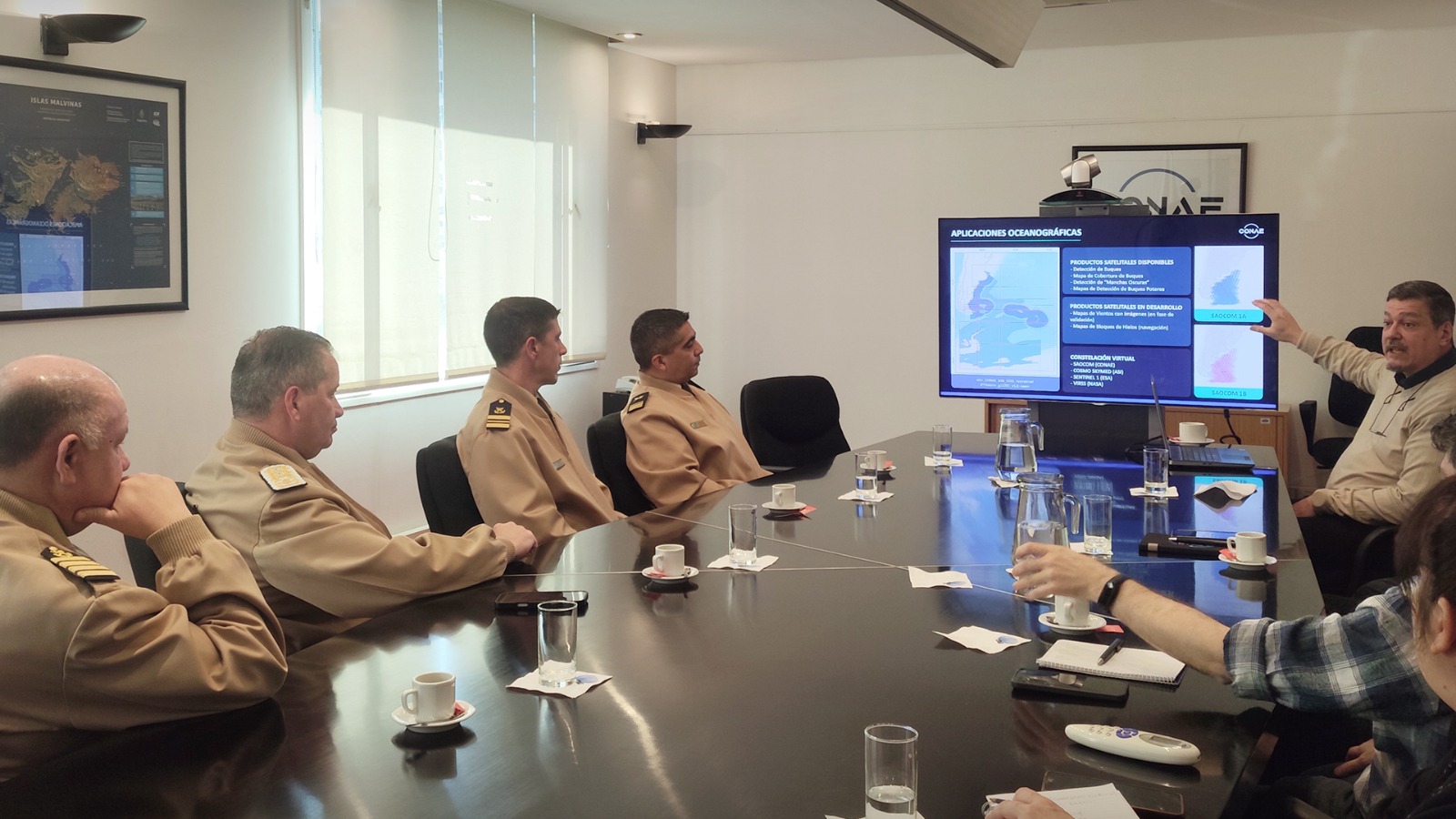
Likewise, both delegations outlined short and medium-term objectives focused on incorporating advanced artificial intelligence models. These tools will accelerate image processing to provide near real-time alerts to the Institution's coast guard vessels and aerial assets, minimizing false alarms and automatically classifying vessel types. In turn, the deployment of satellite wind maps at sea was highlighted, a key input for both navigation safety and response to search and rescue (SAR) emergencies, as well as for modeling the course of potential environmental contingencies.
In this framework of technological cooperation, a special section was dedicated to the future Argentine satellite mission SABIA-Mar. In this regard, it was agreed that the Argentine Naval Prefecture will be part of the community of strategic users of the mission and will actively participate in the validation tasks of the satellite sensors after their orbit insertion, taking advantage of the Institution's operational deployment and control data collected on the ground to contrast the information generated from space.

As one of the salient points of the future agenda, the authorities agreed to extend satellite surveillance to inland rivers and border areas. Through the use of satellite sensors and terrain change detection algorithms, pilot projects were initiated aimed at identifying clandestine landing strips linked to drug trafficking and smuggling, as well as tracking unauthorized landings and precarious ports along the Paraná-Paraguay Waterway and the rivers of northern Argentina.
At the end of the meeting, the strategic relevance of articulating scientific-spatial knowledge with the operational needs of the Prefecture on the ground was highlighted, ratifying the commitment to continue optimizing data exchange for the benefit of preserving natural resources and the comprehensive security of all areas under national jurisdiction.